

Britannia or an Illustratoin of the Kingdom of England and Dominion of Wales by John Ogilby
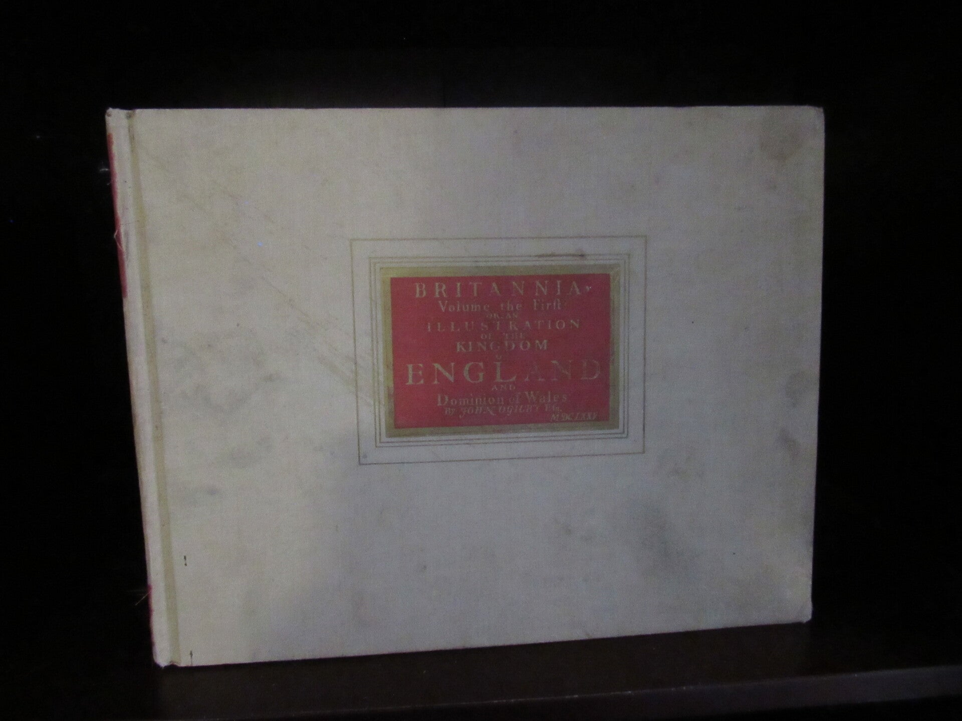
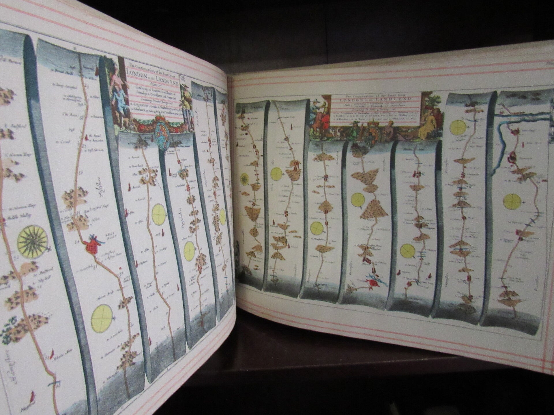
Hardcover. Condition: Very Good. 1939. Alexander Duckham. Illustrated. Facsimile.
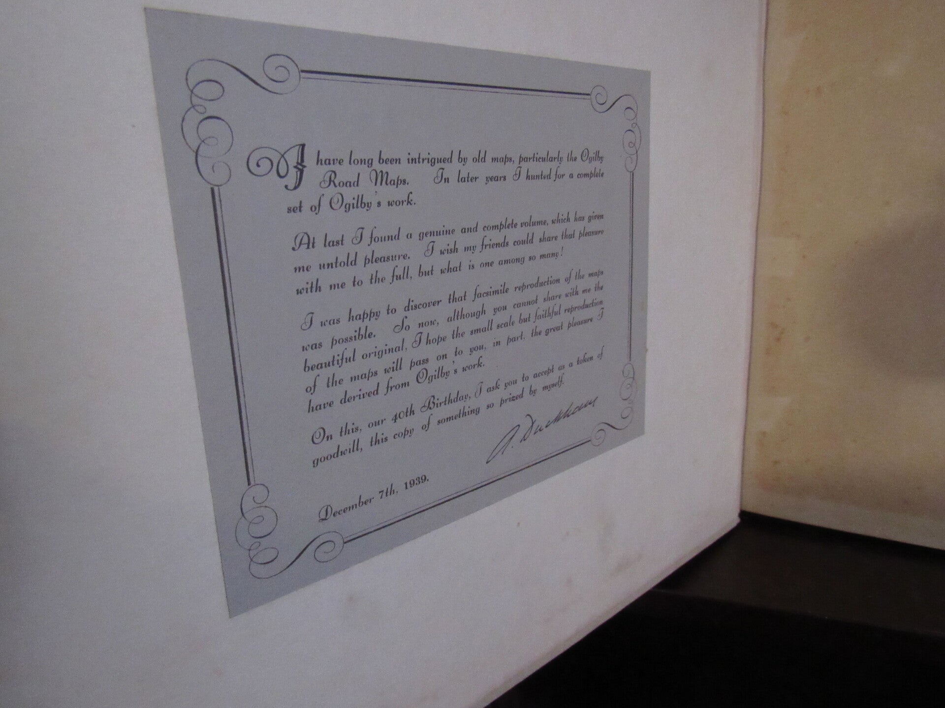
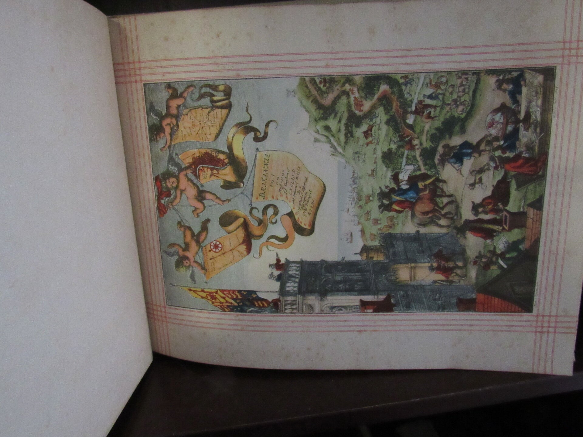
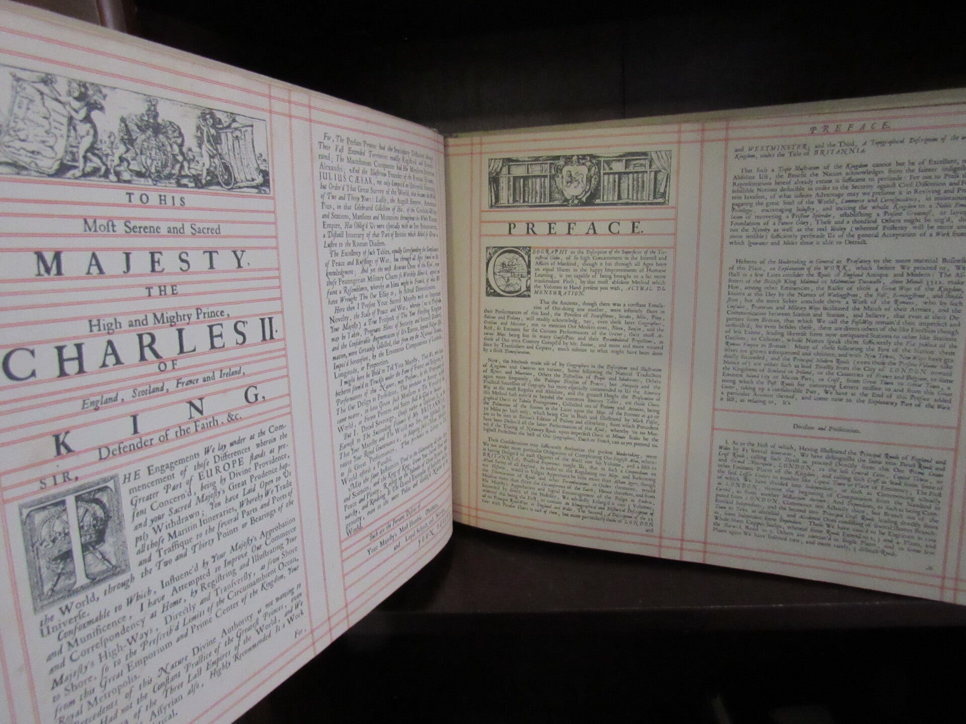
his is the 1939 facsimile of the atlas Britannia, this produced by Alexander Duckham from his personal copy of the original Ogilby's Britannia of 1675. Duckham was a well-known British lubricants and motor-oil firm closely associated with early motoring. The facsimile appears to have been issued partly as a commemorative or prestige publication connected with the company's 40th anniversary and there is an introductory note by A. Duckham, publisher, fixed to front pastedown. This is a good, clean, bright facsimile copy of John Ogilby's innovative road atlas Britannia of England and Wales, complete with reproductions of all 100 strip road maps. Originally issued in 1675, Britannia was the first road atlas of England and Wales to be based on surveys and measurements and drawn to scale as strip maps, an innovation at the time. Ogilby prefaced his atlas with a dedication to "His most Serene and Sacred Majesty. The High and Mighty Prince, Charles II of England, Scotland, France and Ireland, King, Defender of the Faith &c." (and it goes on). As well as the 100 strip maps, this facsimile faithfully reproduces all other introductory pages, notes for the map's use and about the towns shown, it also includes the map of England and Wales showing all the roads described in the body of the work.